
Would you agree with the aim of retaining the open plan nature of the estate by preserving our green open amenity spaces and by supporting the aim of preserving the existing mature trees as much as is possible.? If so please add your name to a residents group / association that could more effectively seek support from local authorities..

Highland Park Estate ~ Wimborne, Dorset
A Residents Group / Association
could help the Highland Park Estate represent views
to the local authorities and assist discussions between ourselves.
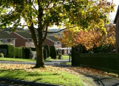
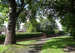
Please support a group being formed to improve communication with the Local Authority and ensure our estate environment - that many of the residents on our estate hold in such high regard - remains as it was designed; spacious & with attractive shared amenity areas.


* In 2015 a survey of all the houses on the estate showed that over 60% would appreciate a Residents Group / Association.
* The actual percentage of those who expressed views and wanted a Residents Association was 98%
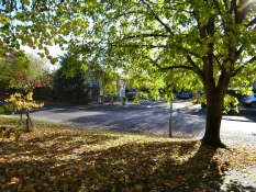
* So what issues might benefit from having a community approach ? Certainly the very essence of the estate lies in it being ‘open plan’ and any threat to this through incremental - maybe uncontrolled changes would erode the overall environment. Preserving the amenity areas will presrve the character of the estate.
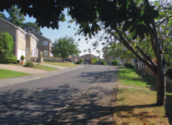
* Pressures on parking and traffic flow can only increase as the developments around Wimborne are realised.
Ownership levels of vehicles also increases as family members gain their driving qualifications …. And of course other issues.
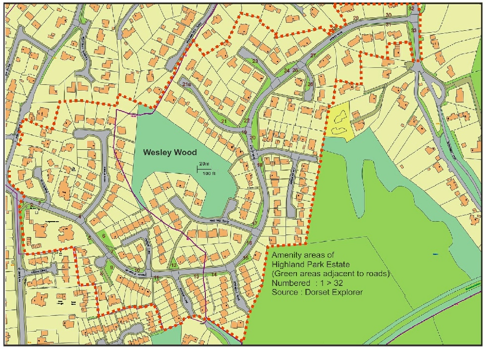
2. Cranfield Avenue junction
3. Cranfield Avenue & Royston Road Junction
4. Poplar Close & Cranfie;ld Avenue Junction
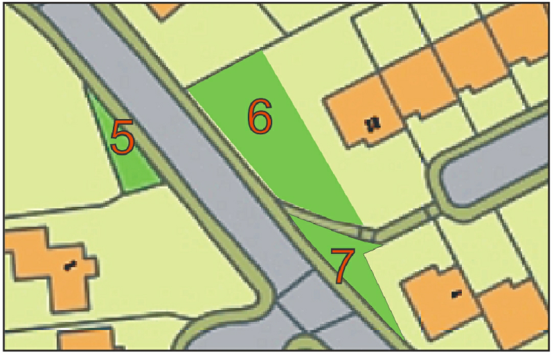
5. South side of Cranfield Avenue triangle
6. Cranfield Avenue & North West of path to Ashdene Close
7. Cranfield Avenue & South East of path to Ashdene Close
8. Approach to # 10a. Cranfield Avenue
9. Rounded corner Cranfield Avenue [adj #10 Cranfield Ave]
10. North side Cranfield Avenue / Ashdene Close junction
11 Small triangle with shrubs adjacent #1 Oakdene Close
13. Cranfield Ave. [opp #5 Cranfield Avenue]
14. Cranfield Ave. [opp #9 Cranfield Avenue]
15. Wesley Road. / Birchdale Road triangle (alongside #1)
16. Wesley Road./ South West Pine Tree Close junction (opp #47)
17. Wesley Road / North of Pine Tree Close junc. (Opp #37-41)
18. Wesley Road / South of Hornbeam Way junction
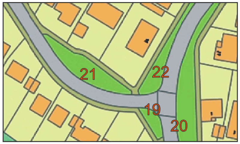
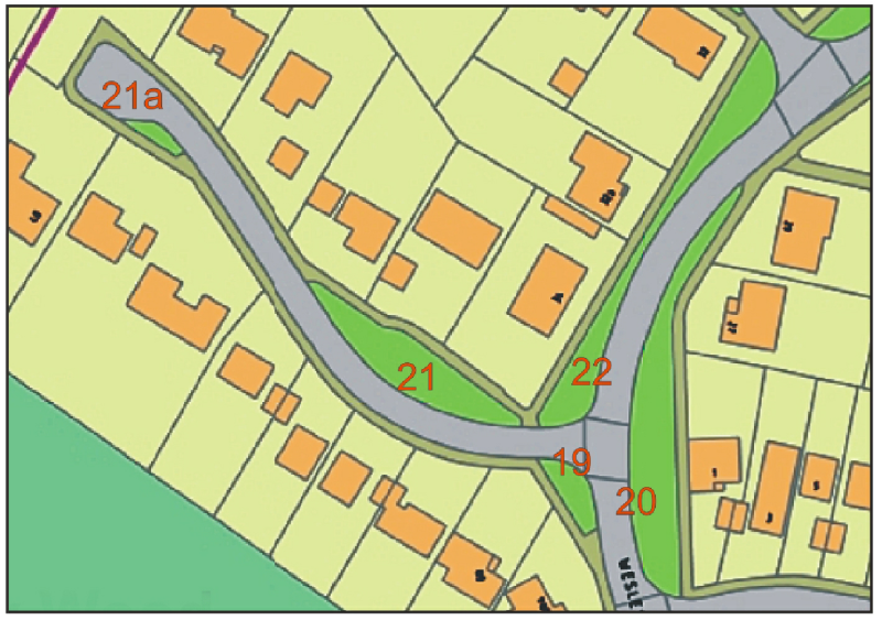
19. West side Wesley Road / North Hornbeam Way junc (50 & 50a)
20. Wesley Road / North Hornbeam Way junction (by #1 Hornbeam)
21. Wesley Road Spur / North & South Side (& 21a) #43 & #36
22. Between Wesley Road spurs (outside #32,32a,34)
24. Wesley Road / West Side (outside #18)
25. Wesley Road / East Side (opposite #18)
26. Wesley Road Spur / South Side (opp #15)
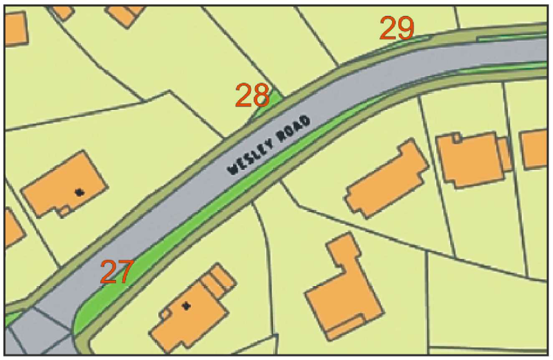
27. Wesley Road / South Side (opp #14 )
28. Wesley Road / North Side - Triangle (opp #9) [now lost]
29. Wesley Road / North Side - (opp #5) [now lost]
30. Wesley Road / North Side (opp #5, #3)
31. Wesley Road / South Side (opp #4, #6)
32. Wesley Road / Beaucroft Lane junction (North side)
33. Wesley Road / Beaucroft Lane junction (South side)

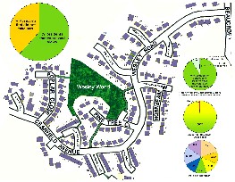
| Amenity Spaces |
| Supporting Ourselves |
| An "RA" |
| What Next |